
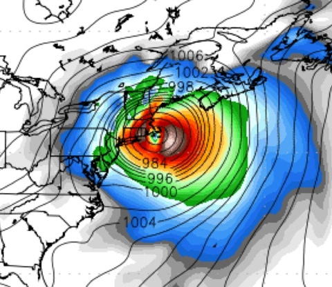
The 0Z GFS computer model shifts Irene’s landfall point to the east, again — from NYC/Long Island to Cape Cod. The rightward trend continues. This hurricane may yet stay out to sea, folks.
By the way, I’m blogging at Pajamas Media’s “Weather Nerd” again, at least for the moment.
There’s a huge concern here. Irene is going to crash into a cold front as it skirts the East Coast, which is a bit like throwing a sponge into a wall (all the water splats out). I’ve read about cases where that’s happened in China and they wind up measuring rain totals in feet.
The latest model runs (Brendan shows some over on the Pajamas Media site) feature near brushes or hits on NYC, which would be a historic catastrophe. One wonders is a “get the hell out of NYC” could be in our future (or Boston for that matter).
Amendment: These runs really show strong portions of Irene’s left side going over the Washington DC area. That’s west of the current track, which would imply that Irene is now headed towards NYC. However, none of the pics show Irene actually hitting NYC; they just imply that it is on that track.
Also, the left side of Irene should be weaker than the right (south winds for a north moving hurricane), so the pics are really not THAT bad.